I am blessed with many wonderful Facebook followers. I read every word that is posted and do my best to respond to most of it.
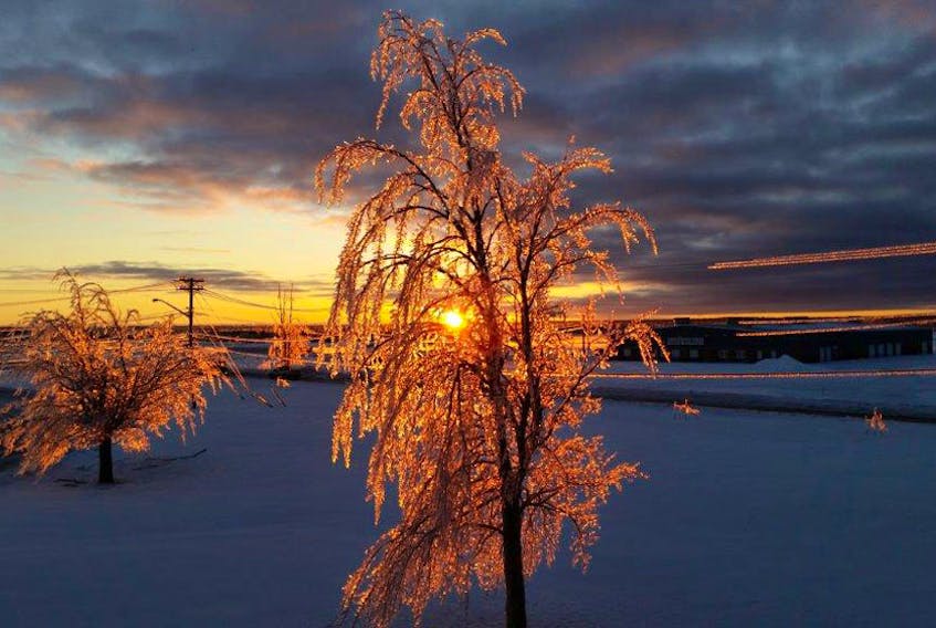
Last month a post caught my eye. It was from Janet Elaine White. She was commenting on the fact that the first few steps she took on her deck one morning almost sent her over the railing. “…take nothing for granted. Just because you see rain doesn’t mean it’s not freezing and pay attention to the forecast.”
Well said Janet and now, quite timely. Given the smorgasbord of weather on the way tomorrow, I thought it might be time for a precipitation primer.
Winter precipitation has as much to do with the temperature in the clouds as it does with the temperature at ground level. In the winter, as a warm front approaches, warm air slides up and over cold, heavy air that can become trapped close to the ground. When rain falls from the warm air into the cold air, several things can happen. If the wedge of cold air above the ground is deep enough, the rain has time to freeze into ice pellets. If the layer of cold air is shallow, the rain cools and becomes super-cooled (liquid below freezing) and freezes on contact when it hits cold objects, like your steps and the roads. Freezing rain is the most dangerous type of precipitation because it looks like rain, falls as a liquid and only freezes when it lands on cold objects.
Back to those ice pellets now. Ice pellets are small, translucent balls of ice. Ice pellets form when the layer of cold air close to the ground extends upward far enough so that raindrops that fall from the cloud freeze into little balls of ice before reaching the ground. Ice pellets often bounce when they hit the ground or other solid objects, and make a higher-pitched “tap” sound when striking objects like jackets, windows and windshields.
Finally, when a so-called mixed bag of weather rolls through, I often hear people talk about hail; it’s not impossible, but it’s unlikely in the winter.
Hail has thick uniform layers of ice, while graupel is an oblong-shaped snowball. Ice from a hail storm only falls during thunderstorms, while graupel falls in a wintry mix – in this case, during a rapid transition from mild to cold.
Snowflakes that formed behind the front encountered super-cooled water droplets in the milder air ahead of it. These droplets collect and freeze on the surface of snowflakes through a process known as the accretion. As more water droplets freeze on the snowflake, the original shape of the snowflake changes, resulting in the formation of graupel.
We’ll likely experience a few of these different types of precipitation tomorrow. I can’t promise that knowing what they are will make the shovelling any easier.
- Want more weather information? Visit your weather page.
- Have a weather question, photo or drawing to share with Cindy Day? Email [email protected]
Cindy Day is the chief meteorologist for SaltWire Network

