Weather truly is marvellous.
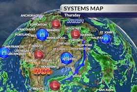
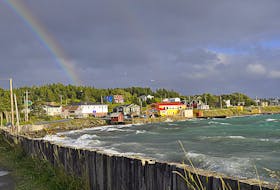
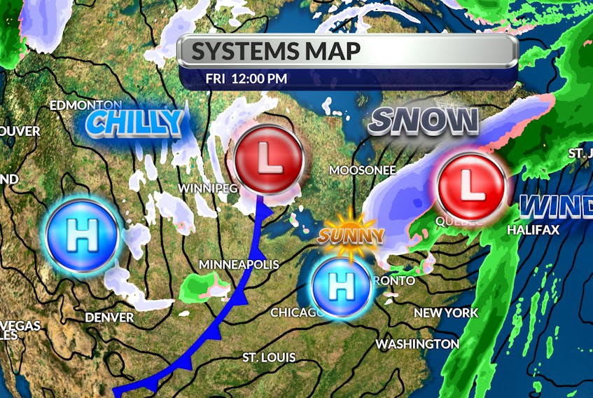
At midweek, the low that’s now racing across Newfoundland’s Northern Peninsula was just moving out of the Gulf of Mexico. At that time, it was spreading wind and rain from Houston, Texas to Quebec City. Today, the very same storm is responsible for heavy rain in western Newfoundland, snow across Labrador and record heat in parts of the Maritimes.
Now that is a complex, well-travelled system.

As the powerful fall storm pulls away, the wind will swing around to the west and a fresh fall air mass will settle in for the first weekend of November.
Just like that, we’ll be a little closer to the elusive jet stream. A significant dip in the controlling upper-air circulation triggers a blast of cold and that’s been the case for our friends and relatives in western Canada. That pocket of cold air is not going to spread across Atlantic Canada right away.

Overall, our temperatures for the first week of November will be seasonal.
- Want more weather information? Visit your weather page.
- Have a weather question, photo or drawing to share with Cindy Day? Email [email protected]
Cindy Day is the chief meteorologist for SaltWire Network.