As we continue to deal with the second Nor’easter of the week, some are wondering what happened to spring?
Well, there’s nothing unusual about spring snow. Last year, many of us were treated to a few light snowfalls between April 16 and the 19. The latest spring snowfall of 2019 in Atlantic Canada came on May 16 in Deer Lake, N.L.

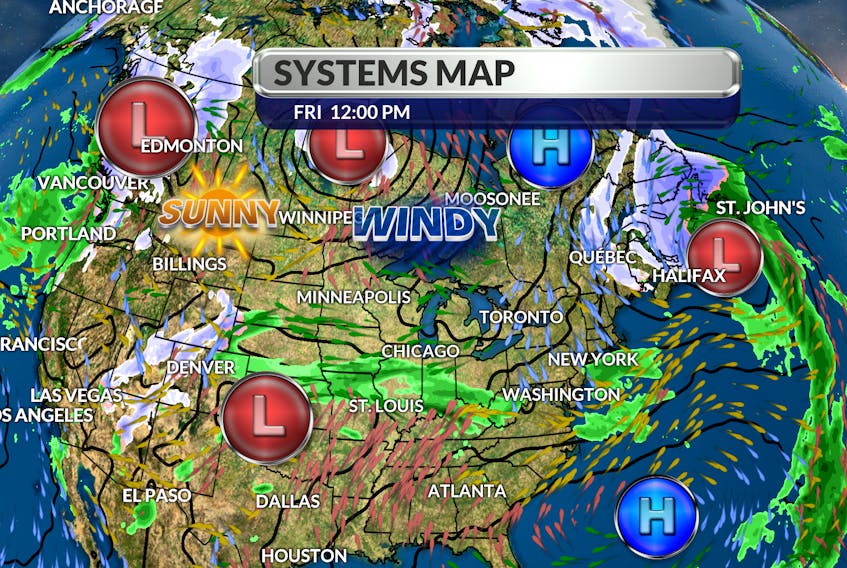
Back to the situation at hand: the forward speed on the powerful Nor’easter near Sable Island has diminished and its track is about to change. An approaching trough of low pressure will soon come into phase with the storm.
That will do two things: strengthen the storm and cause it to veer. Instead of eyeing the Avalon, the low-pressure system will come ashore along the Island’s south coast. While heavy snow bands are pushing into western Newfoundland, the north wind behind the powerful storm will continue to produce onshore snow through much of the day. Mild air funnelling up the eastern edge of the storm will dump 20 to 30 mm of rain over southeastern Newfoundland. A fresh north wind will bring gradual clearing behind the system, and overall, the weekend will be fair.

- Want more weather information? Visit your weather page.
- Have a weather question, photo or drawing to share with Cindy Day? Email [email protected]
Cindy Day is the chief meteorologist for SaltWire Network

