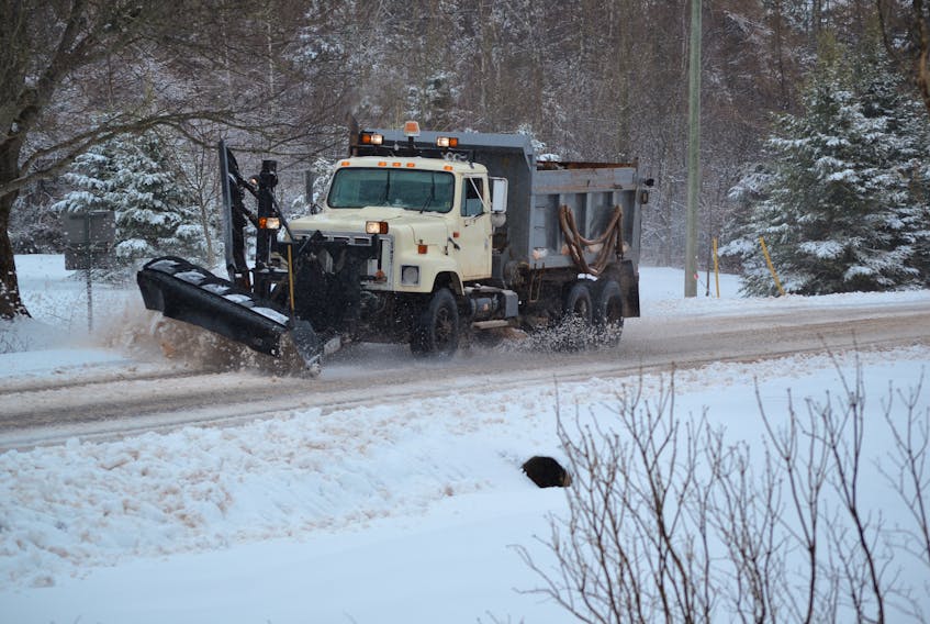
SUMMERSIDE – Islanders can expect messy weather and a mix of precipitation for the next three days.

Cindy Day, Saltwire's chief meteorologist, says the winter storm is a combination of two low-pressure systems that arrived in Nova Scotia on Thursday around 10:30 a.m.
The first weather front will bring snow and cold temperatures but P.E.I. will stay “just under the freezing line” and avoid any rainfall, said Day.
Snow will fall steadily Thursday afternoon into the overnight hours with a possible lull early Friday morning as the second low-pressure system arrives.
The warmer air mass will arrive around 9 a.m., Friday morning bringing heavy snow mixed with ice pellets as temperatures rise to around -2 C across the Island.
Snow and ice pellets will continue through the day Friday.
“O’Leary and Alberton could easily receive 15 to 20 centimetres (of precipitation),” said Day.
Western P.E.I. will remain on the cool side of the system Friday with a daytime temperature around -3 C, eastern P.E.I. will warm to -1 C.
The temperatures will drop Friday after midnight as the system passes.
Saturday morning will see clearing skies and temperatures around -3 C but the wind chill will make it feel like -15 C.
Winds will come from the west gusting up to 70 kilometres per hour in Prince County. There will be a possibility of onshore snow squalls Saturday morning with the strong winds.
For more local weather content from Cindy Day, visit journalpioneer.com/weather.